NE Provenance
Solutions
Intelligence
Pricing
Partnerships
Local
About
Contact
Property Search
NE Provenance

The authoritative property intelligence platform for New England.

Product

  • Property Search
  • Account
  • Intelligence
  • Pricing
  • Partnerships
  • Local Insights
Solutions
  • Insurance Carriers
  • Underwriting & Modeling
  • Claims & Loss Control
  • Appraisers
  • Home Inspectors
  • Lending
  • Title & Legal
  • Agents & Developers
  • Property Lists
  • Portfolio Intelligence
  • Research & Academic

Company

  • About
  • Contact
  • Privacy Policy
  • Terms of Service
  • Acceptable Use
NE Provenance

The authoritative property intelligence platform for New England.

Product

  • Property Search
  • Account
  • Intelligence
  • Pricing
  • Partnerships
  • Local Insights

Company

  • About
  • Contact
  • Privacy Policy
  • Terms of Service
  • Acceptable Use
Solutions
  • Insurance Carriers
  • Underwriting & Modeling
  • Claims & Loss Control
  • Appraisers
  • Home Inspectors
  • Lending
  • Title & Legal
  • Agents & Developers
  • Property Lists
  • Portfolio Intelligence
  • Research & Academic
AES-256 encryption
US-hosted infrastructure
CCPA compliant
Customer data never sold or shared
Authoritative, primary sources
PostgreSQL — enterprise-grade infra

© 2026 New England Provenance LLC. All rights reserved.

Property intelligence derived from 140+ data sources. Data, methodologies, and analytics are proprietary.

428 Lafayette Rd., Suite 101, Hampton, NH 03842

[email protected]
New EnglandMassachusettsConnecticutNew HampshireRhode IslandMaineVermont

Local Insights/Vermont

Vermont property intelligence

NE Provenance tracks 57,846 properties across 1 Vermont county and 19 municipalities — with 430+ intelligence attributes per parcel assembled from 140+ independent data sources. The median Vermont property dates to 1975, with the oldest on record to 1700.
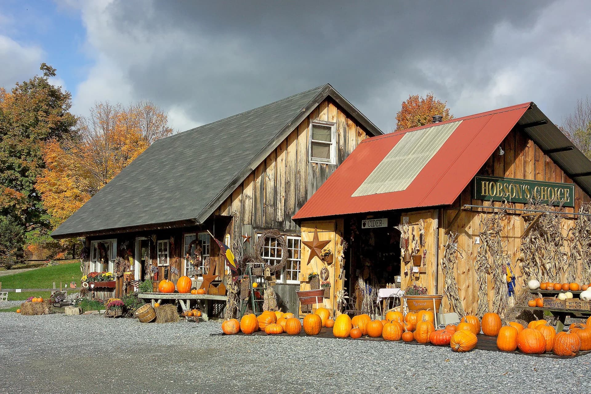
Vermont autumn landscape
57,846
Properties
1975
Median Year Built
$312K
Median Assessed
1.8%
FEMA Flood Zone
Vermont autumn landscape

Vermont1791

Vermont's Chittenden County — anchored by Burlington, South Burlington, Essex, and Colchester — is the state's economic and population center. Our coverage area spans the county's 18 municipalities and nearly 58,000 parcels, from Lake Champlain waterfront properties to the Green Mountain foothills. This concentration means our Vermont intelligence covers the communities where the majority of the state's property transactions, commercial activity, and insurance underwriting decisions occur.

Vermont's building environment is distinctive within New England. The state's energy efficiency requirements are among the most stringent in the region, and Act 250 — the state's environmental review law — influences development patterns across every municipality. Vermont properties tend toward smaller-scale residential construction, with a median year built of 1975 and relatively few large commercial or industrial parcels compared to southern New England.

Lake Champlain creates the primary flooding and environmental exposure corridor in our coverage area. Properties in Burlington, Colchester, and South Burlington face lake-effect weather patterns, seasonal flooding, and evolving shoreline regulations. Inland, the Winooski River watershed affects communities from Richmond through Essex and Winooski. Our platform maps every relevant environmental and hazard layer at the parcel level.

Property Landscape

57,846 properties across 1 counties

Property Types

Single Family
42,131
Other
5,558
Two-Family
4,713
Commercial
2,933
Mixed Use
1,295
Institutional
694
Agricultural / Open Space
296
Industrial
226

Construction Eras

Pre-1800
67
1800–1899
2,845
1900–1949
4,380
1950–1969
8,099
1970–1989
11,957
1990–2009
7,995
2010+
2,276

County Coverage

1 of 14 Vermont counties with full parcel intelligence

Chittenden
57,846
Properties
19
Municipalities

Largest Communities

Top 20 municipalities by property count

Burlington8,948 properties · 1940
South Burlington8,071 properties · 1981
Colchester7,143 properties · 1977
Milton4,734 properties · 1984
Williston4,233 properties · 1988
Essex4,072 properties · 1980
Essex Junction3,544 properties · 1968
Shelburne3,223 properties
Jericho2,421 properties · 1979
Charlotte1,921 properties · 1984
Hinesburg1,892 properties · 1986
Winooski1,771 properties
Richmond1,719 properties · 1980
Underhill1,514 properties · 1880
Huntington974 properties
Westford875 properties
Waterbury219 properties
Bolton180 properties
Starksboro11 properties
Cambridge3 properties
|All New England communities
NE Provenance

Authoritative Property Intelligence for New England

Explore the map|Home

Risk-based analytics and due diligence for 4.7+ million residential and commercial properties across
Massachusetts, Connecticut, New Hampshire, Rhode Island, Maine, and Vermont.

What we cover in Vermont

Every property in our Vermont coverage area includes these intelligence layers — all assembled from independent sources, not resold assessor data.

Building & Site

Year built, square footage, construction type, roof material, foundation, lot dimensions, zoning, architectural style, and occupancy status.

Permits & Condition

Condition estimate (C1–C6) derived from permit timeline. System ages for electrical, plumbing, HVAC, and roof. 8,647 Vermont properties with permit data.

Risk & Hazards

Fire protection grade (A–E), FEMA flood zones (1.8% SFHA), storm surge, sea level rise, wind speed, seismic hazard, wildfire, radon, and vacancy risk.

Environmental

Wetlands proximity, dam exposure, contamination records, historic designation, conservation lands, and environmental justice indicators.

Ownership & Valuation

Owner name and entity type, deed chain with sale prices, mortgage and lien analysis, assessment breakdown, and NEP Market Value Indication.

Neighborhood

Fire station distance, school districts, demographics, median income, utilities, and community resilience indicators.

Explore the intelligence for yourself

Open a Property Wallet for a real New England property. With over 4.7 million similar records across all six New England states, see how it fits into your workflow.
Get the IntelligenceSee the Intelligence
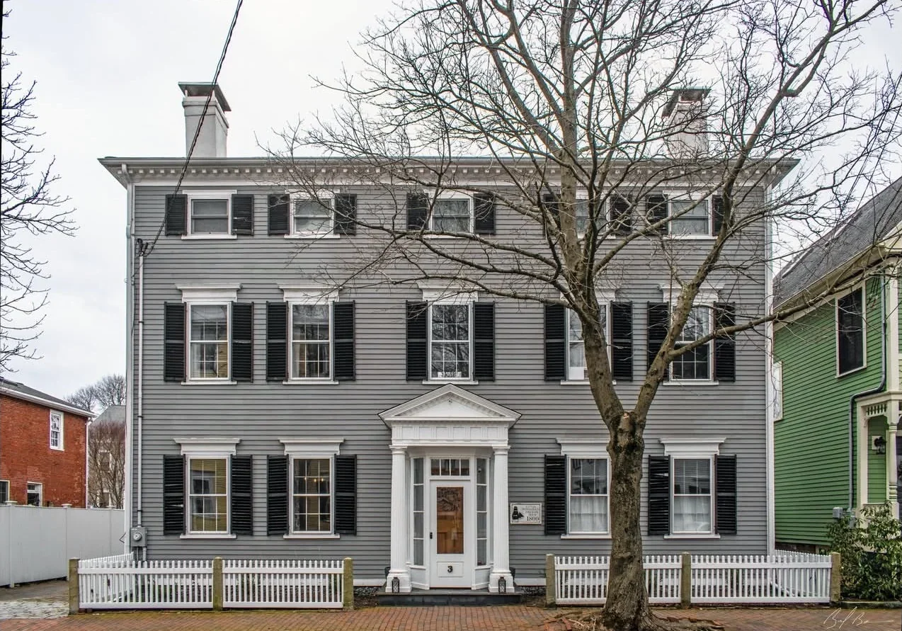
Federalist home in Newburyport, MA
Newburyport, MA · Federalist · 3,524 sq ft · 4 bed / 3 bath · Built 1800 · Historic District
NEP Property Intelligence Summary
ConditionC1Fire ClassBFlood ZoneXOwnerIndividualOccupancyOwner-Occupied
Purchased2018 (8yr)Permits11 total · 4 in 5yrSystems3 updated · newest 0yrLiensClearAssessed$1.6MOcean0.3 miSurgeCat 2
EraPre-1940HistoricDesignatedRenovationRecent (5yr)CommercialNo Business ActivityRadonZone 1 — Highest
AES-256 encryption
US-hosted infrastructure
CCPA compliant
Customer data never sold or shared
Authoritative, primary sources
PostgreSQL — enterprise-grade infra